(CNN) — As severe storms prompted at least nine tornado reports in parts of the central US, a barrage of snow, rain and harsh wind is forecast Monday in places from the West Coast to the Great Lakes, including some still without power following a similar string of severe weather last week.
More than 227,000 US homes and businesses were without power as of Monday, according to PowerOutage.US — about half in Michigan, which is bracing for another round of ice and snow to hit the region Monday. Outages were also reported in Oklahoma, Missouri, Texas, and California, which was hit by a major winter storm last week.
In Oklahoma, at least seven tornadoes and 12 injuries were reported in Sunday’s severe weather. Two tornadoes were reported in Kansas.
More than 100 other storm reports — including wind and hail — were recorded in parts of Oklahoma, Kansas and Texas as hurricane-force winds and severe thunderstorms tore through. A gust of 114 mph was recorded In Memphis, Texas — equivalent to sustained wind in a Category 3 hurricane.
“I got up and then the wind just threw me back. And I’m screaming,” Frances Tabler of Norman, Oklahoma, told CNN affiliate KOCO. “It was like a blizzard inside the house.”
Early Monday, flipped cars and downed trees littered neighborhoods where roofs had been torn from homes, CNN’s Ed Lavandera reported.
In anticipation of severe winds and potential hail Sunday night into Monday, a unit at McConnell Air Force Base in Wichita, Kansas, relocated most of its aircraft to protect them and ensure they can still be deployed if needed, the base announced.
As the storm shifts north by Monday afternoon, a slight risk for severe weather — possibly a few tornadoes and wind gusts — could impact cities including Indianapolis, Cincinnati and Columbus, Ohio.
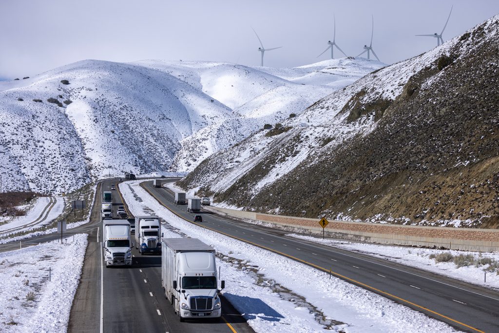
In the West — where last week’s storms prompted rare blizzard warnings and road flooding in California — a separate system of rain and high-elevation snow will push from the Pacific Northwest down into California and into the Rockies through Monday.
Nine western states are under winter weather alerts Monday as heavy snowfall is forecast across the region, including up to 10 inches in Washington state’s Cascades by early Tuesday; 1 to 3 feet in high elevations and mountain peaks of western Oregon; and 1 to 3 feet in mountainous areas of the Rockies.
A blizzard warning remains in effect for the Sierra Nevada mountains in California, which could see between 2 and 6 feet of snow.
Yosemite National Park was closed Saturday due to severe weather and will not reopen until at least Wednesday as the multiday blizzard warning remains in effect across Yosemite Valley, the park announced. The valley could see as much as 55 to 84 inches of snow by Wednesday, the park said.
The storm system impacting Oklahoma and Ohio is expected to push into the Northeast by Monday afternoon, where interior parts of the region could see widespread snowfall totals of 6 to 12 inches.
Meanwhile, the South is anticipating another week of unusually warm winter temperatures after steaming under record-breaking highs last week.
Dozens of daily high temperature records could be broken again in the coming days as areas of southern Texas and the Florida Peninsula could see temperatures into the 90s.
Southern Plains buffeted as tornadoes reported
As the National Weather Service reviews the severe weather reports from Sunday into Monday morning, it will work to determine whether the system can be classified as a derecho, which forecasters previously said was possible.
A derecho is a widespread, long-lived windstorm, which typically causes damage in one direction across a relatively straight path, according to the weather service. To be classified as a derecho, the stretch of wind damage should extend more than 240 miles and include wind gusts of at least 58 mph along most of its length, it says.
In total, more than 140 storm reports were made Sunday across the Southern Plains, mainly of wind across Kansas, Texas and Oklahoma. This also includes 14 hail reports in those states, with several hailstones reportedly 1.75 inches in diameter.
Nine tornadoes were reported in Oklahoma and Kansas, including one in the Oklahoma city of Norman, where police warned of road closures, downed power lines and debris.
Twelve weather-related injuries were reported early Monday, the Norman Police Department said. None were critical, the department said after conferring with area hospitals.
Students on the campus of the University of Oklahoma in Norman were told to immediately take shelter Sunday evening as the area was under a tornado warning, which was later lifted.
Officials in Oklahoma are still assessing the damage, though the most concentrated impacts appear to be in Norman, Shawnee and possibly Cheyenne, said Keli Cain, public affairs director for the Oklahoma Department of Emergency Management and Homeland Security.
Roughly a dozen families displaced by a tornado in Liberal, Kansas, are being accommodated and about 10 trailers were also damaged, City Manager Rusty Varnado said. At least one person was injured by broken glass, he said, noting the injuries are minor.
Hard-hit Great Lakes braces for another round
Freezing rain, snow and ice across the Great Lakes region and parts of the Midwest last week resulted in perilous travel conditions, road closures and significant power outages, disrupting daily life for many.
This week, the Great Lakes are poised to be hit all over again, including Michigan, where about 130,000 homes and businesses still did not have power early Monday after the prior storms damaged trees and utility lines.
Utility company DTE, one of Michigan’s largest electricity providers, said 630,000 of its customers have been impacted by the storms so far. By Sunday night, power was restored to about 600,000 of their customers, the utility said.
Another round of mixed precipitation is expected to move into the region Monday, with those under winter weather alerts possibly seeing between 2 and 8 inches of snowfall.
As the storm moves east, winter storm watches are also in effect for parts of interior New York and New England through Wednesday afternoon. In total, these isolated areas can see up to 10 inches of snowfall.
Boston, which is under a winter weather advisory from Monday evening until Tuesday evening, is expected to get 2 to 5 inches of snowfall.
The-CNN-Wire
™ & © 2023 Cable News Network, Inc., a Warner Bros. Discovery Company. All rights reserved.


More Stories
Missing woman: Sonia Suzzette Parris
Flash Flood Watch issued for Barbados
Tuach focusing on training